A breathtaking location on three rivers, impressive sights and a lively gastronomy: Passau has a lot to offer, and that is valued especially by hikers. The three-rivers-city is located on several international hiking paths and is perfect for a longer stay. Lots of accommodation providers are located near the paths and warmly welcome tourists. All important sights in Passau are in walking distance.
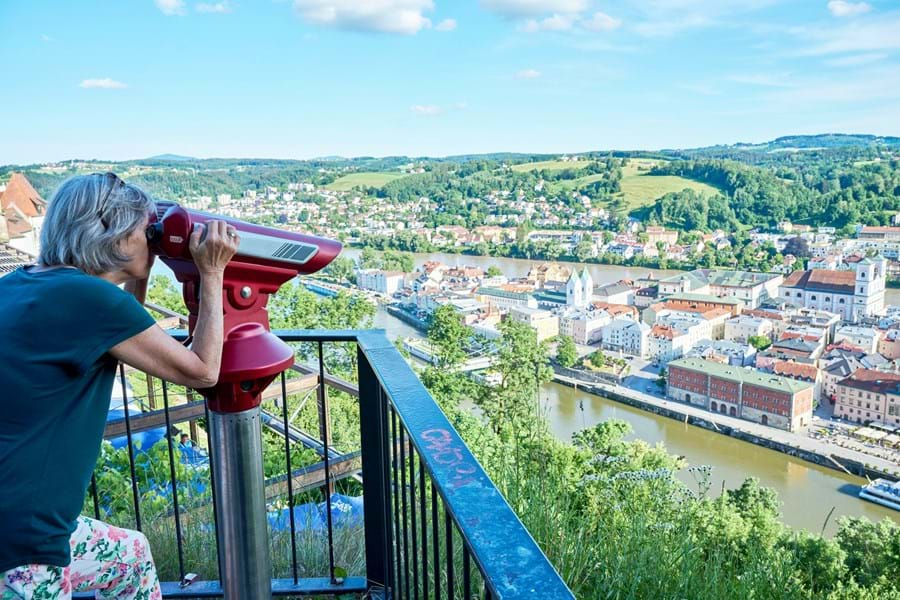
You want to hike to Passau? You want to have a bird’s eye view of the three-rivers-city Passau? You want to walk through the beautiful and untouched landscape along the banks of our rivers? You will find a great variety of hiking trails in and around Passau.
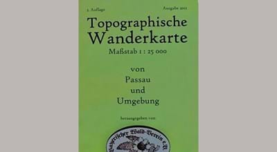
Take a look at our brochure "Hiking & Cycling" (PDF, 1.5 MB, German):
All about hiking
Hiking Paths
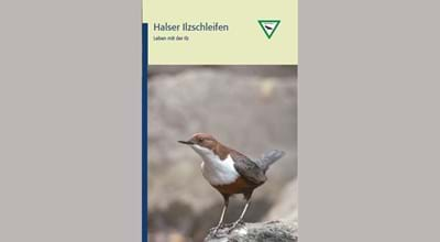
Ilz Hiking Trail
Passau Hals - Triftsperre - Fürsteneck - Dreiburgenland, approx. 70 km
Inn Hiking Trail
German bank: Passau - Ingling - Neuburg - Neuhaus, approx. 15 km
Austrian bank: Passau - Ingling - Wernstein (A) - Schärding (A), approx. 15 km
Long Distance and Theme Trails
Donausteig
Passau - Grein (A), north bank approx. 290 km, south bank approx. 270 km
Goldsteig
Passau - Marktredwitz, north route approx. 420 km, south route approx. 240 km
Pandurensteig
Waldmünchen - Passau, approx. 170 km
Donau-Panoramaweg
Passau - Neustadt a. d. Donau, approx. 220 km
Jakobsweg
more information see JakobsFreunde Passau e.V.
European Pilgrim's Path VIA NOVA
Pribram (CZ) - St. Wolfgang (A) - Weltenburg a. d. Donau, approx. 1,200 km
Benedict Pilgrim's Path
Passau - Admont (A) - Miren (SI), approx. 800 km
European Culture & Pilgrim's Path Via Sancti Martini (middle route)
Szombathely (H) - Passau - Tours (F), approx. 2,500 km
More hiking trails in and near Passau: Goldener Steig, Gläserner Steig, European long distance path E6 and E8
Hiking Equipment & Accessory
Decathlon Passau
Discover the perfect equipment for your adventure - from clothing and shoes to backpacks and accessories
Denk bike+outdoor
Closed on Monday, entry at Brunngasse 4
Pritz Globetrotter Depot
High-quality equipment for hiking, traveling and camping
Schöffel-Lowa Store Passau
Expert for outdoor clothing as well as trekking, trail running, outdoor and winter shoes
Guided Hiking Tours
DonauGuides
In our team we have experienced hiking guides and we offer day trips in addition to multi-day trips
Passauer Stadtfuchs-Touren
Adventure hikes through palace gardens, to castles, palaces and ruins in and around Passau
Luggage Storage & Transfer
Locations of lockers with charging facilities (for a fee, only by app "CONNECT ready"):
- Dietrich-Bonhoeffer-Platz
- Domplatz
- Ludwigsplatz
- Römerplatz
Donau-Schiffs-Reise-Center Helmut Eckerl (opposite mooring A11/A12)
We offer an all-round service from bicycle and luggage storage over passenger, luggage and bicycle transfers to car parking
Train station Passau
Chargeable luggage lockers
Suggestions for hikes
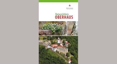
Oberhaus – Ilz Valley or quarter Hacklberg
At the level of the suspension bridge is the access to the battlement walk up to fortress "Veste Oberhaus". This slope, the "Oberhauser Leite", is part of the nature reserve "Donauleiten", which extends from Passau to Jochenstein. In the past, wine was even grown here, which was named "Oberhauserleiten-Gneisscholle". The battlement walk ends at "Veste Oberhaus", where the hike can be continued towards Ilz valley or via Freudenhain Castle and the city park at quarter "Hacklberg".

Distance: 8,5 km | Duration: 2:15 h | Challenge: easy | ↑ : 14 m
Starting e.g. from the tourist information at town hall square towards "Römerplatz"; cross the Danube at the suspension bridge, use the pedestrian lights and go straight on through the tunnel. Keep left at parking deck "Ilzbrücke" and continue on "Halser Straße". Keep left at the market place in quarter "Hals" and follow the marker 23. After the dam follow left the course of the river Ilz. At "Triftsperre" is a refreshment stop on the opposite side of the river. From here is an extension of the hike towards "Oberilzmühle" reservoir possible. The way back leads through "Triftsperrtunnel", then left along the Ilz to the pedestrian bridge. Then left over the car bridge and immediately right again onto the hiking trail. Keep left at the next bridge. Turn right into "Achatiusstraße" and follow "Stromlänge" until the traffic lights. Turn right over the pedestrian bridge into "Bschüttpark" and walk back from the parking deck to "Römerplatz".
For downloading the gpx-track press the right mouse button and choose "save link / target as".

Distance: 2,8 km | Duration: 0:45 h | Challenge: easy | ↑ : 79 m
Cross the Danube at "Schanzlbrücke" heading out of town. Half left via "Eggendobl" to "Neue Rieser Straße". Immediately left again using the cross-walk to "Vilshofener Straße" and after 5 m right to "Alte Rieser Straße". Continue left uphill. After 75 m is on the left the entrance to the park. Follow the path past a yellow cottage until you reach a crossroads. From here various possibilities for hiking routes, e.g. via the "Egyptian Grotto" to the former "American Garden House". Back from the crossroads downhill to the exit at the brewery with the possibility to stop for a bite to eat. Walk along "Vilshofener Straße" towards the city centre. From the junction "Neue Rieser Straße" take the same way back over "Schanzlbrücke".

Distance: 5,7 km | Duration: 1:30 h | Challenge: easy | ↑ : 94 m
Start at the bus stop "Kohlbruck" (bus line 5/6 e.g. from ZOB) or from "Neuburger Wald parking". From St. John's Chapel walk back to the bridge and cross it. Follow the path straight ahead. The hiking marker 3 leads towards Kellberg and soon turns right. Follow the path and after about 1,7 km turn right at the junction. Follow marker 3 and cross the bridge back to the starting point.
Tip for a longer hike - Distance: 6,9 km | Duration: 1:50 h | Challenge: average | ↑ : 138 m:
After crossing the bridge, do not turn right, but go straight ahead past the animal shelter to the river Inn. Turn right there and walk passing the rowing club buildings to the hiking car park "Ingling". From here, turn right again, where you'll finally get back to marker 3.
For downloading the gpx-track press the right mouse button and choose "save link / target as".
More information & brochures